


The Serengeti National Park, spanning over 14,750 sq. km. in Tanzania, is renowned for its stunning landscapes and rich biodiversity. Beyond its picturesque landscape, its geological history offers a fascinating glimpse into the dynamic processes that have unfolded over millions of years, shaping our planet’s landscape.
Delve into the geological features and processes that have sculpted the Serengeti, offering a comprehensive look at the natural forces behind the formation of this iconic African landscape.
The Serengeti National Park’s bedrock primarily consists of Precambrian rocks, formed over 2.5 billion years ago. These ancient rocks, including granites and gneisses, were shaped by tectonic movements, volcanic activity, and erosion, laying the foundation for the diverse landscapes visible today.
The Serengeti National Park rests upon the African Plate, which has undergone several shifts leading to the creation of the East African Rift System. This rift system is a series of tectonic boundaries where the African Plate is slowly splitting into two smaller plates, the Somali Plate, and the Nubian Plate. This tectonic activity has resulted in significant geological features such as rift valleys, volcanic mountains, and fault lines.
Volcanic activity has profoundly influenced the Serengeti’s geology. The region has experienced numerous volcanic eruptions, especially during the Cenozoic era. The Ngorongoro Crater, a prominent feature near the Serengeti National Park, is a caldera formed by a massive volcanic eruption around 2 to 3 million years ago. Volcanic ash from eruptions has contributed to the fertile soils of the Serengeti, supporting its rich vegetation and diverse wildlife.
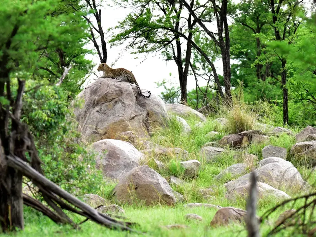
Kopjes are isolated rock hills that rise abruptly from the plains, formed by the weathering and erosion of granite and gneiss. These formations are remnants of ancient mountains worn down over millions of years. Kopjes serve as crucial habitats for many species, offering refuge from predators and extreme weather conditions. They also play a significant role in the park’s ecology, influencing plant growth and animal behavior.
Moreover, kopjes harbor a particularly noteworthy inhabitant—the black rhinoceros. These majestic creatures find refuge in the sheltered recesses of these rocky outcrops, underscoring the critical role kopjes play in supporting diverse wildlife populations within the Serengeti.
The East African Rift System has profoundly impacted the Serengeti, creating dramatic rift valleys and escarpments. The western boundary of the park is defined by the Eyasi-Wembere branch of the Rift Valley, characterized by steep escarpments and deep valleys. These rift valleys are result of tectonic forces pulling the Earth’s crust apart, creating depressions filled with sediment and water.
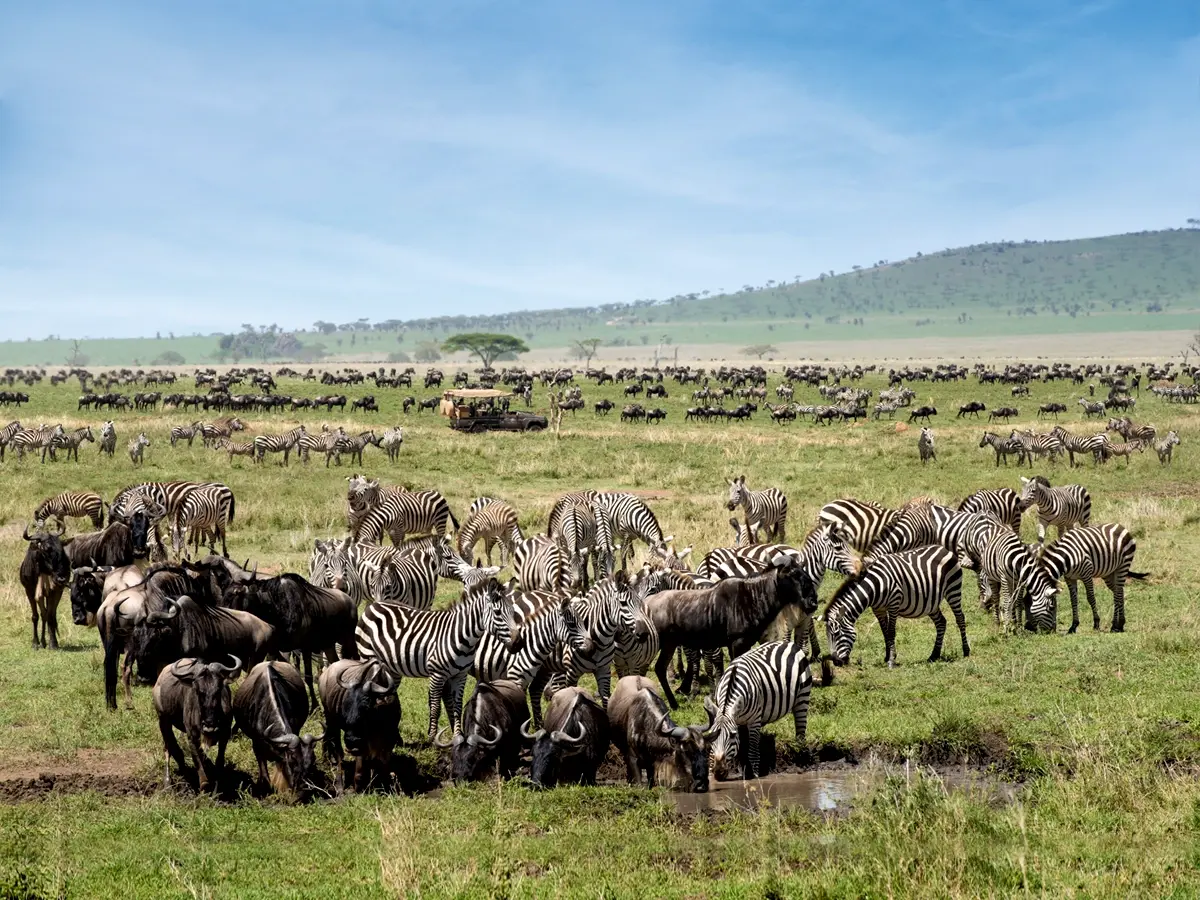
Volcanic ash from eruptions, particularly from the Ngorongoro Highlands and other volcanic centers, has enriched the soils with minerals, making them highly fertile. These fertile soils support the lush grasses that sustain the park’s famous herbivores, such as the wildebeest and zebras.
Erosion and deposition processes continue to shape the Serengeti’s landscape. Water erosion from rivers and streams transports sediments across the plains, depositing them in lower-lying areas. Wind erosion also plays a role, particularly during the dry season when strong winds can move large amounts of dust and sand. These processes contribute to the dynamic and ever-changing nature of the Serengeti’s terrain.
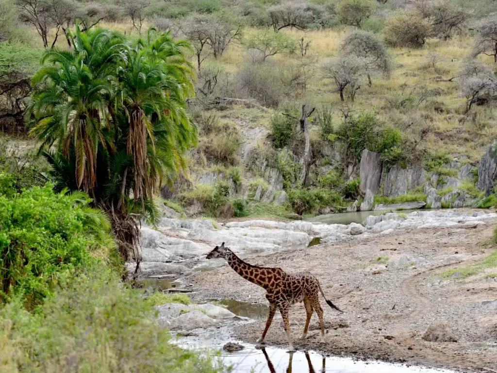
The Serengeti is traversed by several rivers and streams, which are vital to its ecosystem. The Mara River, one of the most significant rivers in the park, flows from the Mau Escarpment in Kenya into Lake Victoria. This river is famous for the annual wildebeest migration, where millions of wildebeests and other herbivores cross its treacherous waters. The rivers and streams have carved out valleys and created floodplains, influencing the distribution of vegetation and wildlife.
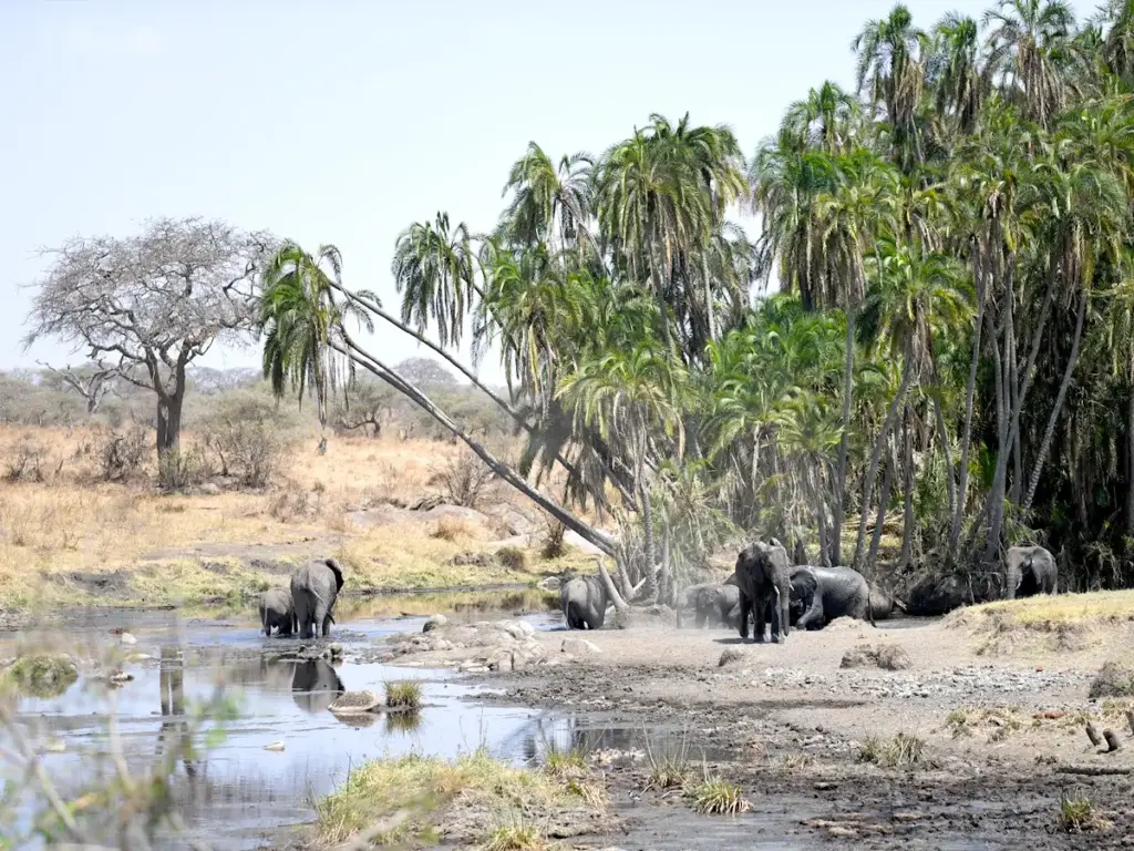
Lakes and wetlands are important features in the Serengeti, providing essential water sources for its inhabitants.These water bodies are formed by a combination of tectonic activity, erosion, and sedimentation. Lake Victoria, the largest lake in Africa, lies to the northwest of the park and significantly influences the local climate and hydrology. Smaller lakes and seasonal wetlands within the park, such as Lake Magadi and the Grumeti River floodplains, are crucial for maintaining the ecological balance.
Human activities have left a significant mark on the Serengeti’s geology. Agriculture has led to changes in the landscape, such as soil erosion and deforestation. Traditional farming practices, livestock grazing, and the clearing of land for cultivation have altered the natural processes of erosion and deposition. These activities can lead to the loss of topsoil and degradation of the land, impacting the park’s ecosystems.
Despite the challenges posed by human activities, significant conservation efforts are underway to preserve the Serengeti’s geological and ecological integrity. The establishment of the Serengeti National Park and its designation as a UNESCO World Heritage Site have helped protect the region from excessive exploitation. Conservation initiatives focus on sustainable land use practices, reforestation, and the restoration of degraded areas.
The Serengeti National Park’s geology is a testament to the dynamic forces that have shaped our planet over millions of years. From ancient rock formations and volcanic activity to the intricate processes of erosion and sedimentation, the park’s geological features reveal a rich and complex history. Understanding this history is crucial for appreciating the Serengeti’s unique landscapes and the biodiversity they support.
As we continue to study and conserve the Serengeti, it is essential to recognize the interplay between geology and ecology. The park’s soils, water bodies, and landforms provide the foundation for its thriving ecosystems, influencing the distribution and behavior of its iconic wildlife.
Embark on a journey to the Serengeti National Park with One Nature and witness the breathtaking landscapes shaped by millions of years of geological evolution while supporting vital conservation efforts to protect this pristine wilderness for generations to come!